Paulo and I visited north-west Scotland, mainly Sutherland, arriving at Inverness on the sleeper on Tuesday 22nd May and leaving on Sunday 27th. On Tuesday we walked up Stac Pollaidh but I didn't take photos.
Each thumbnail image below is a link to its own picture page, and each picture page has a link to the next one.
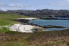
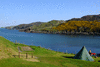
Sea view from campsite at Scourie, where we stayed for the whole time.
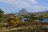
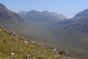
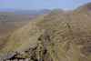
Foinaven (I think), seen on the way back from Durness
Cape Wrath, Wednesday 23rd We took the ferry from Keoldale across the Kyle of Durness and a minibus ride for the several miles beyond to reach Cape Wrath, the NW extremity of Gt Britain.
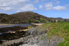
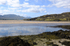
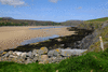
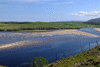
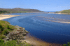
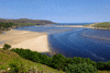
View of Kyle of Durness from Keoldale jetty, on the E bank
View from the W bank (while waiting for the minibus)
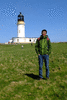
Cape Wrath lighthouse
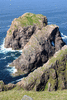
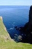
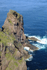
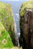
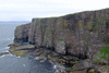
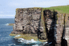
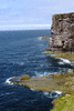
Cliffs at Cape Wrath
Kearvaig bay
Maovally
Smoo Cave, Wednesday 23rd This cave system has been formed by both the river and the sea, on an inlet near Durness.
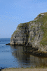
Geodha Smoo
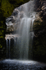
Waterfall in the second cave
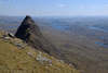
Suilven, Thursday 24th We approached Suilven from the walkers' carpark on the road to Glencanisp Lodge and went back the same way.
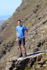
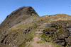
Upon reaching the ridge of Suilven
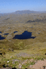
Views NE towards Quinag
View up the ridge towards the summit of Suilven
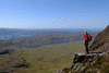
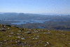
View NW from the summit
Canisp and Meall Meadhonach, the subsidiary top of Suilven
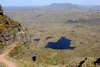
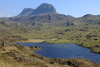
Suilven seen from near Loch an Alltain Duibh
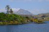
Canisp seen from near Glencanisp Lodge on Loch Druim Suardalain
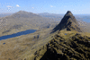
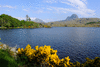
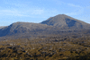
Canisp and Suilven
Suilven
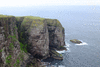
Handa Island, Friday 25th This small island is a nature reserve, privately owned by the Scourie Estate, managed by the Scottish Wildlife Trust, reached by a short ferry crossing from Tarbet, and inhabited by thousands of razorbills and fulmars and some puffins on its Torridonian sandstone cliffs, with skuas inland.
Beinn Alligin, Saturday 26th On our last day we drove south to Glen Torridon and climbed Beinn Alligin from there.
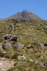
Sgurr Mor, the main summit of Beinn Alligin
Beinn Dearg
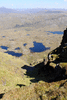
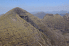
Sgurr Mor and the Horns of Alligin (the pinnacles) seen from Tom na Gruagaich, the subsidiary summit of Beinn Alligin