Norway 2006

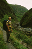
Visit to Norway for IPCC WG1 AR4 Fourth Lead Authors' Meeting in Bergen, Wednesday 21st June 2006 to Saturday 1st July Before the meeting, Peter Stott and I walked down Aurlandsdalen.

Images are © Jonathan Gregory 2006.

See also the COMPUTER VERSION of this album.

Each thumbnail image below is a link to its own picture page, on which the caption and navigation are beneath the picture, and the image itself is a link to the next picture. It is sized to fit on a mobile screen expecting that you will set the phone to auto-rotate.

Finse to Geiteryghytta, Thursday 22nd June
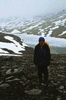
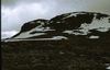
Peter Stott and I took the train from Bergen to Finse (1220 m) and walked north over Sankt Pål (1695 m, no views owing to cloud and snow) to Geiteryghytta (also 1220 m).
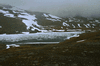
43-037 43-036 Omnsvatnet (1319 m), on descent from Sankt Pål.
Steinbergdalen to Geiteryghytta, Friday 23rd June
The hut warden drove us north to Steinbergdalen (1100 m), and we walked back to Geiteryghytta.
43-035 43-033 Climbing up from Steinbergdalen. The red T marks the footpath.
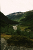
43-034 View W across the valley (Stemmerdalen). 43-032 View N up the valley.
43-031 Bolhovd (1507 m), which we climbed.
Østerbø to Vassbygdi, Saturday 24th June
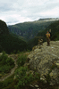
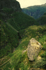
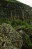
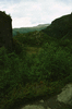
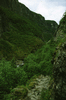
We were given a lift north up the valley, past Steinbergdalen, to Østerbø (810 m) by Tor and Laura, a couple who were staying in the Geiteryghytta. We walked from Østerbø north along the valley (Aurlandsdalen) as it descended steeply to near sea level at Vassbygdi. From there we got a taxi to Flåm on the Sognefjord, and took the spectacular train (the Flåmsbana) back to the main line at Myrdal.
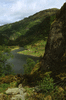
43-030 View E across Aurdalsvatnet to Østerbø. 43-029 A brief sunny episode, looking down on Nesbøvatnet.
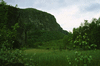
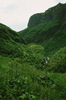
43-028 View back SE over Nesbøvatnet as we climbed up along the N side of the valley. 43-026 View S across the valley; the green hill on the L with the cliff on its right side is Vetlafjellet (1107 m).
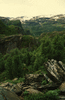
43-025 View N from near Bjønstigen just before a steep descent of several 100 m (I can't count the contours on the map as they are too close together) back to the river. 43-024 Looking down on the river from near Bjønstigen.
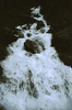
43-023 43-022 43-021 Large boulders and small birches by the river at Vetlahelvete.
43-020 43-019
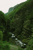
43-018 43-017 43-016 Path following the river closely below Skori.
43-015 43-014 43-013
43-011 Crossing the Veiverdalselvi stream. 43-010 View back S from lunch stop at Sinjarheim.
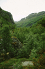
43-009 View back S from river before it turned W. 43-008 Ilaget stream (I think).
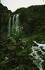
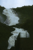
43-007 Kjosfossen, on the Flåmsbana.
Bergen, Saturday 1st July
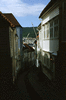
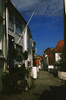
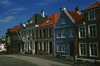
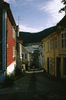
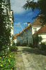
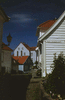
43-006 43-004 43-003 Streets in Nordnes, on the S side of the harbour.
43-002 43-001a
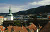
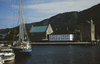
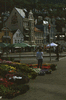
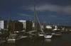
43-005 View N across the harbour from Nordnes. The church on the L is Nykirken and the green-roofed building on the R is Håkonshallen. 44-037 Håkonshallen and Rosenkrantzarnet, seen across Vågen, the habour.
44-036 Bryggen, seen across Vågen. 44-035 The fish market, seen across Vågen.
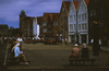
44-034 Bryggen, seen across Vågen. 44-033 Torget, in the fish market.
44-032 The water front in the fish market. 44-031 Bryggen.
44-030 Streets above Bryggen. 44-029 View S across Bergen.