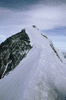
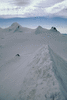
Each thumbnail image below is a link to its own picture page, and each picture page has a link to the next one.
Jungfraujoch to Mönchsjochhütte, Sunday 18th We walked up from Grindelwald to Kleine Scheidegg and took the Jungfraubahn.
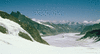
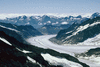
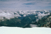
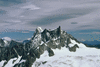
View from near Jungfraujoch down the Jungfraufirn to Konkordiaplatz, where the Fülbärg is the spiky skyline on the L of the picture, and beyond down the Grosser Aletschgletscher; the gap where the glacier turns R and out of sight is Märjela, and the peak at the back is Helsenhorn (I think).
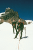
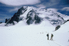
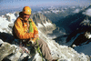
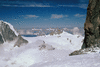
Gabriel and Tim squinting into the sun, with the observatory on the Sphinxstollen behind.
Views from Mönchsjochhütte
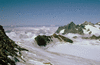
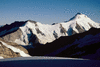
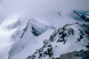
The near ridge is the start of the Fieschergrat, and behind the cloudy valley stand the Wetterhorn and Mittelhorn.
Wetterhorn, Mittelhorn and Rosenhorn.
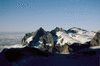
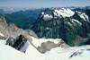
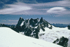
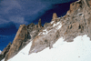
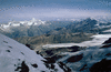
Schreckhorn and Lauteraarhorn on the skyline; the nearer ridge is the Fieschergrat.
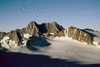
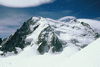
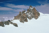
Dreieckhorn on the L rising to Aletschhorn on the R.
Mönch, Monday 19th We climbed the Mönch (4099 m) by the normal route from the hut.
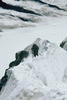
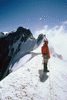
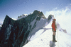
A party behind ascending the final arête.
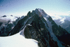
Grosser Aletschgletscher seen from the summit; the gap ahead where the glacier turns R is Märjela, the peak behind it is Helsenhorn, and the peak on the skyline at the R is Monte Leone (I think).
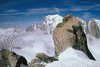
The peak on the left of the group at the back is Wetterhorn with Mittelhorn and Rosenhorn to its R.
Gross Grünhorn, Tuesday 20th We attempted to climb Gross Grünhorn by its W snow slope and reached the col but did not have time for the summit.
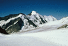
Dreieckhorn and Aletschhorn seen from the slopes of Gross Grünhorn.
Chamonix to Torino hut, Sunday 25th Neil and I took the Aiguille du Midi cable-car and walked across the upper Vallée Blanche and the Glacier du Géant to the Torino hut.
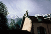
Looking up at the Grands Mulets and the Dôme du Goûter from Bossons railway station.
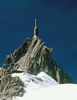
Aiguille du Midi.
View N up the Chamonix valley from near the Aiguille.
Mont Blanc du Tacul.
Les Grandes Jorasses and the peaks of the Rochefort Arête, with the Dent du Géant at the R.
Cosmiques arête.
Cosmiques arête and hut seen from Pointe Lachenal.
Neil on Pointe Lachenal.
Aiguille de Rochefort, Monday 26th We traversed the Rochefort Arête as far as the Aiguille de Rochefort (4001 m).
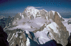
Arête de Rochefort in the foreground, Dent du Géant on the right, Mont Blanc at the back, viewed from Aiguille de Rochefort.
Dôme de Rochefort and Grandes Jorasses viewed from Aiguille de Rochefort.
Arête and Aiguille de Rochefort seen from near the Dent du Géant, the start of the ridge.
Mont Blanc seen from near base of the Dent du Géant.
Cosmiques Arête and Aiguille du Midi seen from the base of the Dent du Géant.
Lyskamm, Wednesday 27th On Tuesday we took buses through the Mont Blanc tunnel and in the Aosta valley to Gressoney la Trinité, then cable-cars to the Gnifetti hut. From there we climbed Lyskamm (4527 m) via the S ridge and descended the E ridge (normal route) to the Lisjoch.
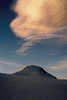
Vincent Pyramide seen while climbing the slope of Il Naso below the S ridge.
View S from the same point; the distant peak on the horizon is Monte Viso (I think).
View down the E ridge from the summit of Lyskamm.
Gornergrat and Gornergletscher in the middle ground, Weisshorn on the skyline on the L, Mischabel peaks on the R, seen from Lyskamm.
Summit of Lyskamm seen from E ridge.
Signalkuppe, Parrotspitze and Ludwigshöhe seen from the E ridge of Lyskamm. After Lyskamm we went to Weismiess but the weather and snow were too bad for summit or photography.